Fishfinders - Chartplotters and Combo
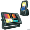
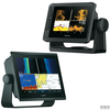
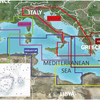
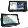
Electronic systems for depth sounding, navigation, and route management. Garmin fishfinders deliver detailed bottom readings and underwater target detection. Garmin chartplotters, in fishfinder or multifunction configurations with optional modules, integrate charts, sonar, onboard data, and route planning tools. Garmin and Navionics cartography provide accurate coastal representation, hazard marking, and navigational routes. Raymarine chartplotter-fishfinder units combine sonar imaging and chart navigation through a unified interface. All systems support continuous monitoring, precise positioning, and safe navigation control.