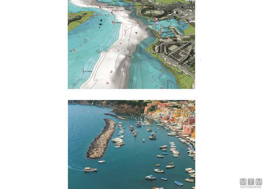
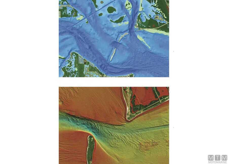
Navionics Platinum+ Charts
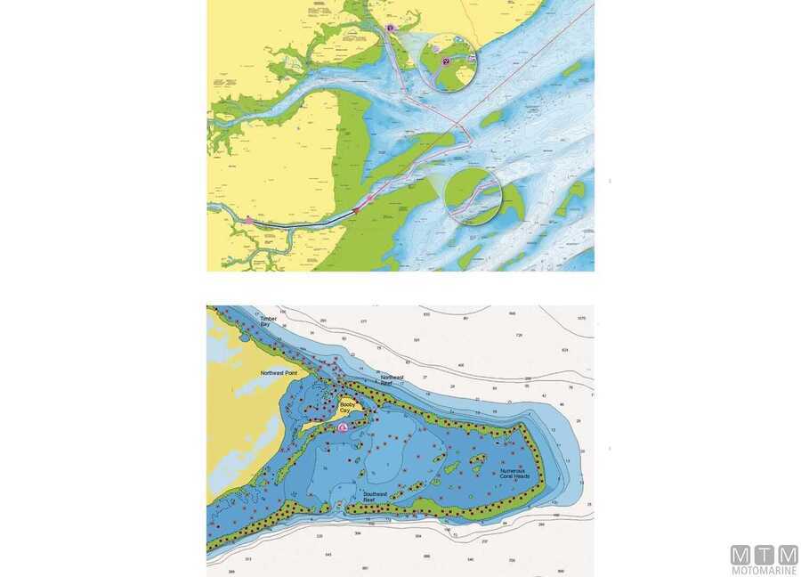
Integrated all-in-one Navionics Platinum+ cartography packed with essential details for navigation, sailing and fishing. Equipped with additional 3D features such as relief shading, satellite imagery with overlay, 3D view and aerial photos. Through the Navionics Boating app you access advanced features such as SonarChart HD and live, community edits, peer-to-peer auto route, shaded overlay and access to weather data with forecasts.
| Product | Ref | Coverage | |||||||||||||
|---|---|---|---|---|---|---|---|---|---|---|---|---|---|---|---|
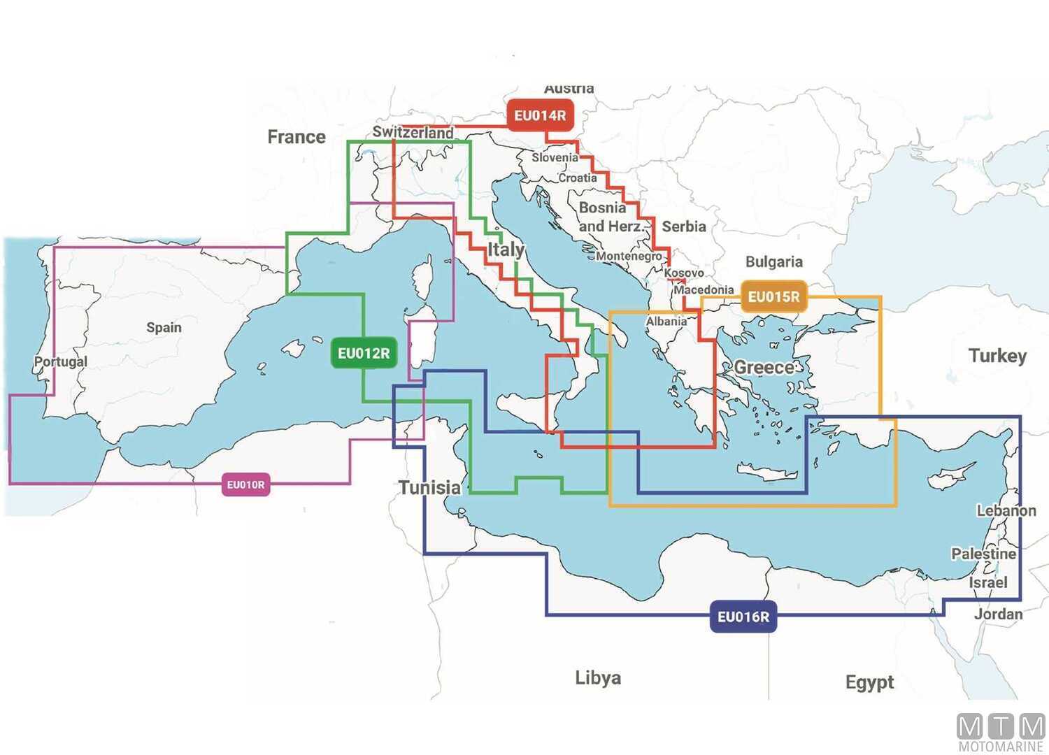
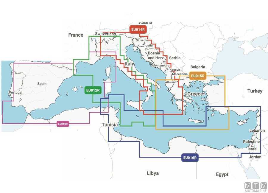
| NPEU010R | Spain and Mediterranean Coast | ||||||||||||||
|
|
|||||||||||||||
| NPEU012R | Italy West Coast | ||||||||||||||
|
|
|||||||||||||||
| NPEU014R | Italy Adriatic Coast | ||||||||||||||
|
|
|||||||||||||||
| NPEU015R | Aegean Sea and Sea of Marmara | ||||||||||||||
|
|
|||||||||||||||
| NPEU016R | South East Mediterranean | ||||||||||||||
|
|
|||||||||||||||
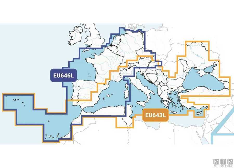
| NPEU643L | Mediterranean and Black Sea | ||||||||||||||
|
|
|||||||||||||||
| NPEU646L | Central and Western Europe | ||||||||||||||
|
|
|||||||||||||||