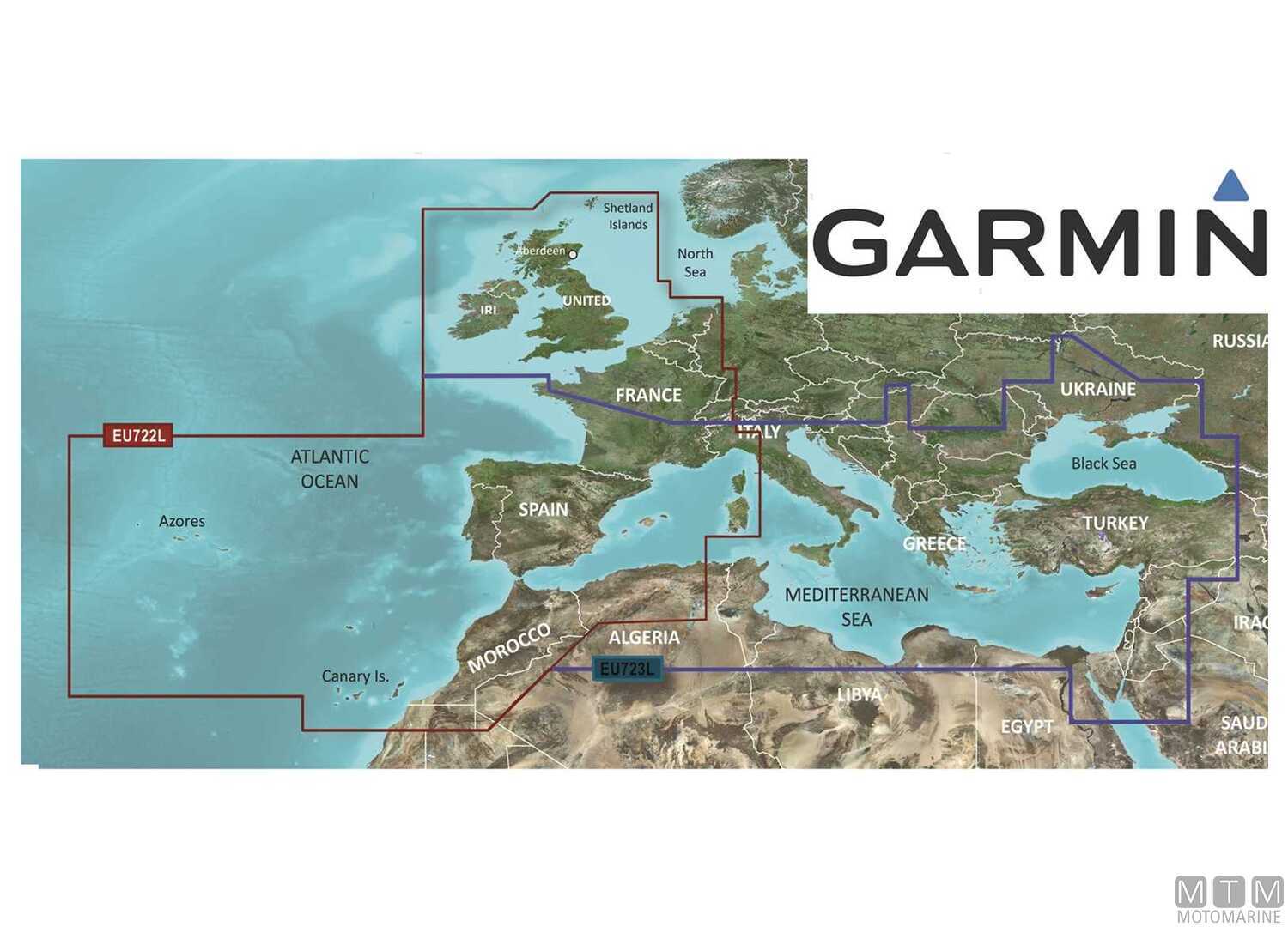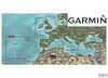


Garmin BlueChart G3 Vision Large Area Charts
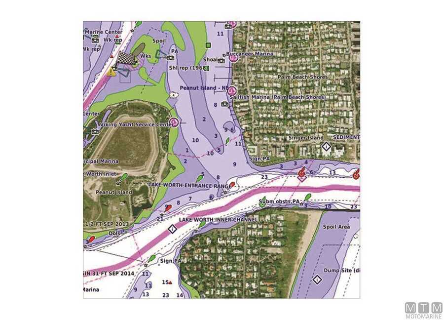
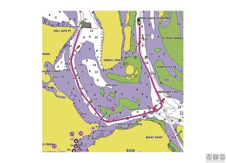
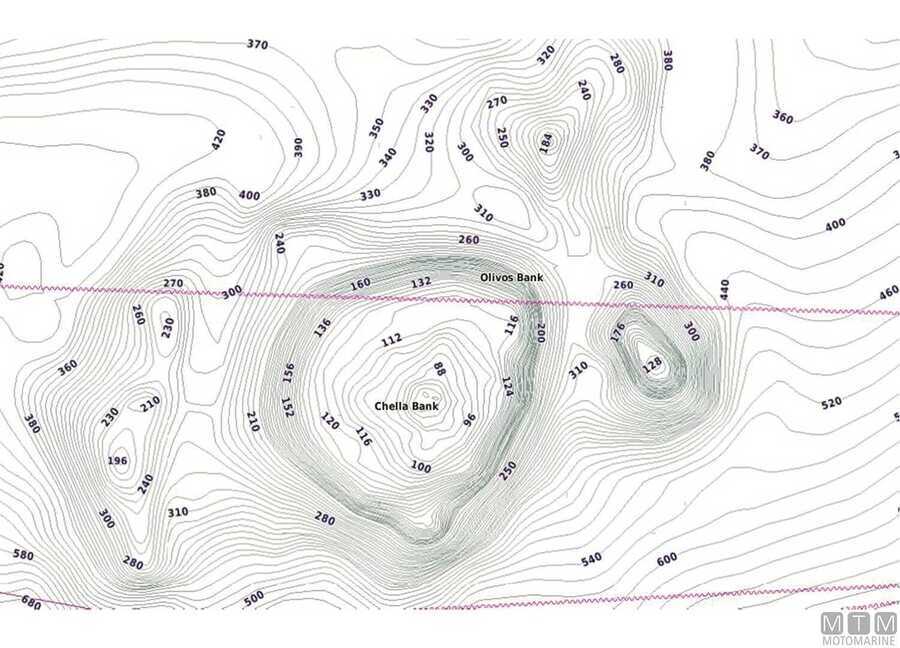
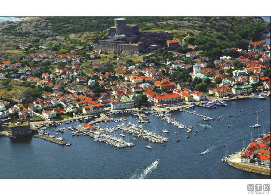
The Garmin BlueChart G3 Vision HD card contains high precision mapping, high resolution satellite images, true 3D view of both above and below sea waterline, fishing high depth and HD bathymetrics, “Safety Shading” function and aerial photos of all navigation landmarks and points of interest. Complete with Auto Guidance 3.0 technology that offers directions and suggestions to reach the desired destination with the shortest route.
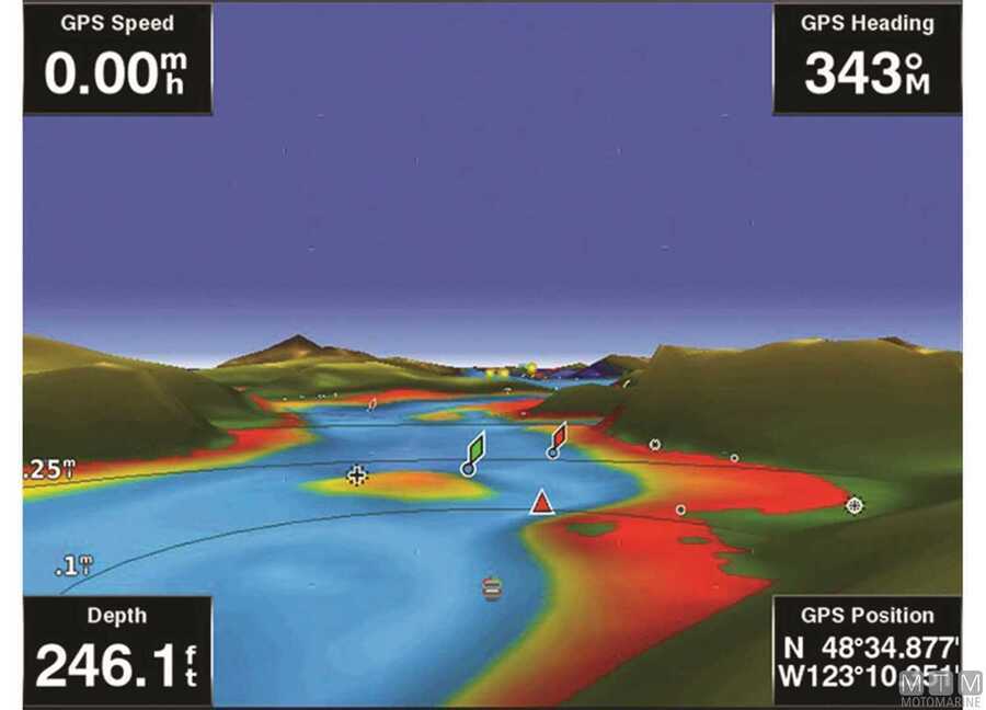
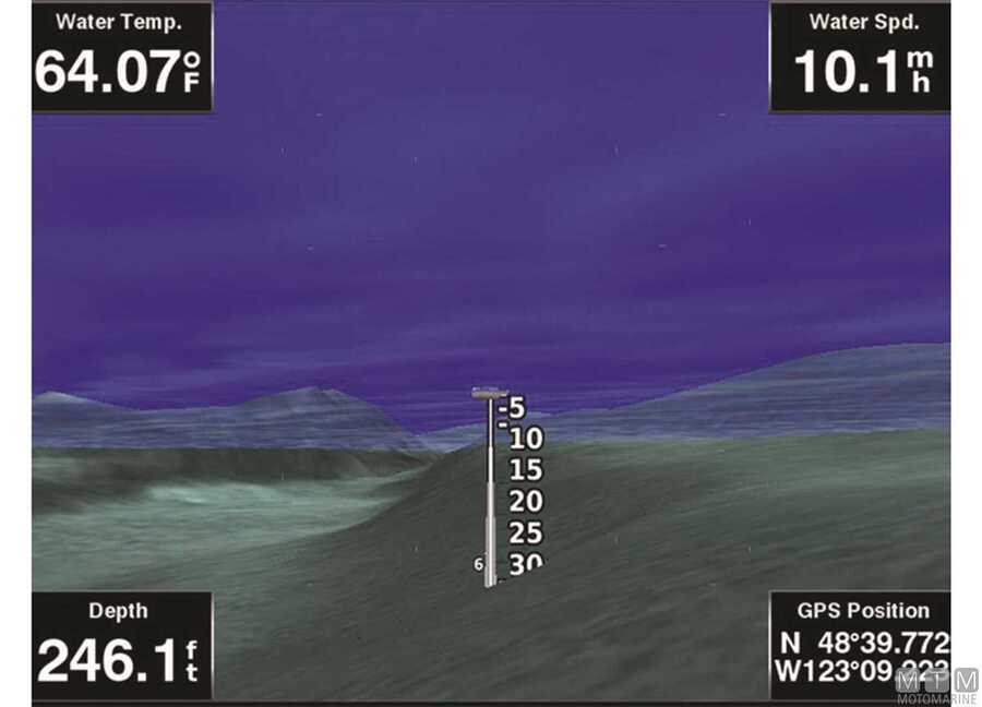
With the Mariner's Eye and Fish Eye visuals it is possible to view a 3D perspective to make it easier to maneuver in and out of ports, taking into account the contours of the coast and the seabed.
| Product | Ref | Coverage | |||||||||||||
|---|---|---|---|---|---|---|---|---|---|---|---|---|---|---|---|
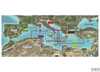
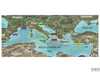
| VEU723L | Mediterranean Sea, Black Sea and Iberian Peninsula | ||||||||||||||
|
|
|||||||||||||||
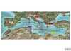
| VEU722L | West Europe and North/West Atlantic | ||||||||||||||
|
|
|||||||||||||||